Years ago, the method of navigating was either printing out directions from MapQuest or pulling out the absurdly large Rand-McNally map for the state and figuring it out the quickest way to your destination. You would not have access to live data like accidents, police activity, and road conditions as you do now with mobile devices. Since the “dark times,” Google has been “pushing the boundaries of what a map can do, propelled by the latest
machine learning” and is “on track to bring over 100
AI-powered improvements to
Google Maps.”
Indoor Navigation
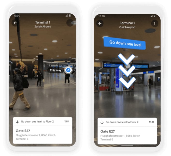
Have you ever gotten lost or turned around in an airport, mall, train station, or other large, yet crowded location? Using augmented reality cues, Google is helping users find their way with Live View, an AI-powered indoor navigator. It uses tech called global localization, which, according to the
Google blog, leverages AI to “scan tens of billions of Street View images to understand your orientation.” Pairing that with precise altitude and placement of objects in buildings, Live View now works in some locations such as malls in Chicago, Long Island, Los Angeles, Newark, San Francisco, San Jose, Seattle. The Live View app can be downloaded on Android and iOS, and users can enjoy these locations and others to come soon.
Plan Ahead For Weather
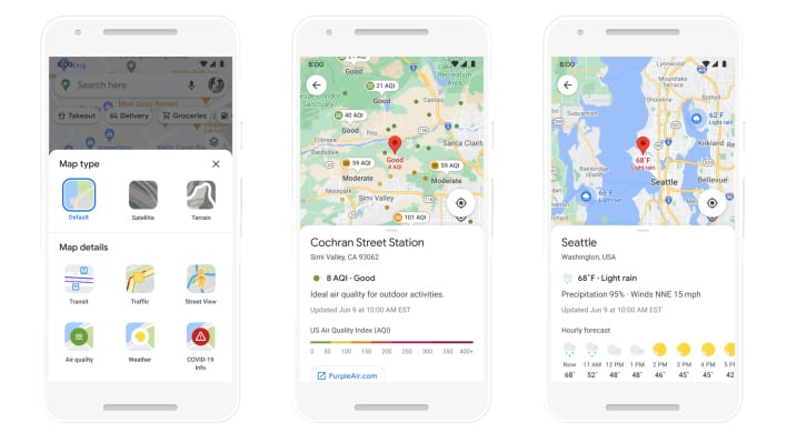
New to Maps is a handy weather layer so users can “quickly see current and forecasted temperature and weather conditions in an area.” Alongside the weather layer is a new air quality layer that can show how safe the air is in an area. Both layers can be incredibly helpful for people preparing for their day or traveling to a new place and will begin to roll out on Android and iOS in the coming months.
Eco-Friendly Transportation
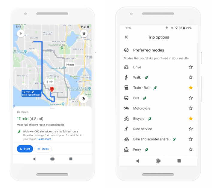
Just because a route may look like the fastest may not necessarily mean it is the most efficient way to go, especially if you are stuck in heavy traffic and idle for a while. Thus, with knowledge from the U.S. Department of Energy’s National Renewable Energy Lab, Google is building a new routing model which “optimizes for lower fuel consumption based on factors like road incline and traffic congestion.” Starting later this year, Google will default to the route with these factors in mind to keep people’s carbon footprint down.
However, keeping a low carbon footprint is more than just driving more efficiently. Thus, Google is also making it easier to select greener options to travel on-the-go. Users can see how long it will take to travel to a destination by car, public transit, or bike without having to toggle between tabs or new screens. With machine learning, Google can also prioritize your preferred transportation mode to make life just a little bit easier. This feature will begin to roll out globally for both Android and iOS in the coming months.
Grocery Pickup
With the
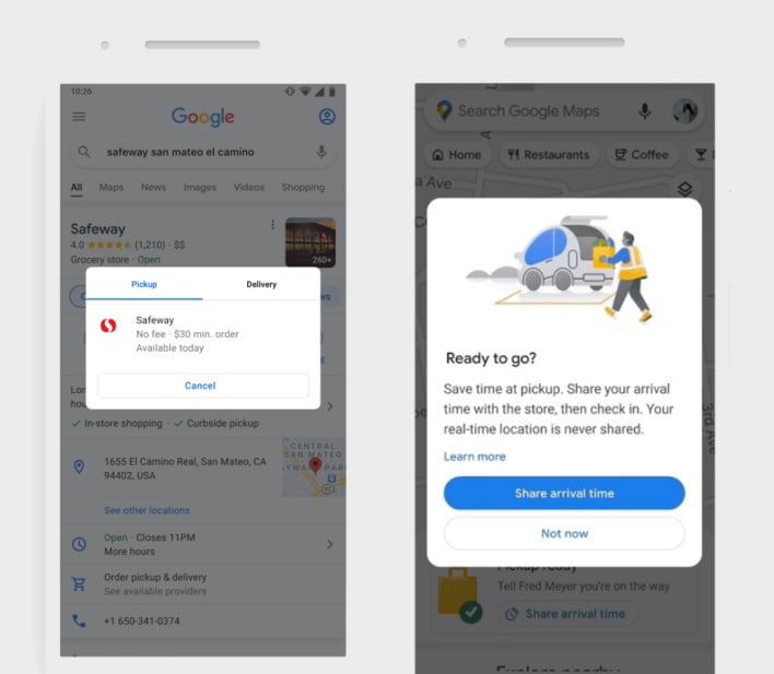
COVID-19 pandemic exacerbating shopping online, Google helps make this experience more convenient while minimizing contact with others. Soon, Google will bring “helpful shopping information to stores’ Business Profiles on Maps and Search, like delivery providers, pickup and delivery windows, fees, and order minimums.”
This summer, Google will also be piloting a feature for select Fred Meyer stores to make grocery pickup easier. After placing an order on the store’s app, you can add it to Maps, and Google will send a notification when it is time to take off to pick up the groceries.
As Google explains, “All of these updates are possible thanks to AI advancements that have transformed Google Maps.” Millions of users worldwide can now rely on Google Maps and AI to get things done in a more effective, greener, and quicker way. However you use Google Maps, let us know what you think of the new features coming in the comments below.


